This Knowledge Hub, the information and recommendations included therein regarding your choice and operation of Rivulis products, including the applicable Rivulis drip irrigation system, and regarding other farming related procedures (the “Knowledge Hub”) are designed and rendered for information purposes only and to the best of Rivulis’ knowledge and experience. The content is provided for the purpose of offering an introductory overview of drip irrigation and related agricultural issues. It is therefore not an exhaustive guide, and this Knowledge Hub should be used in conjunction with other sources.
Rivulis has used commercially reasonable efforts to ensure that its own product information, including data sheets, schematics, manuals and brochures are correct in all material respects. That being said, any information should be verified before making any decisions and all information in this Knowledge Hub is provided on an “as is” and “as available” basis, without warranties of any kind either express or implied. For the sake of clarity, the Knowledge Hub includes public information and other materials provided by third parties which Rivulis has not independently verified; all of which is provided on an “as is” and “as available” basis, without warranties of any kind either express or implied.
Except for the specific product warranties, available from the local Rivulis office of your area, Rivulis hereby disclaims all warranties, express or implied, including without limitation, implied warranties of merchantability, reliability, title, fitness for a particular purpose, and non-infringement. Applicable law may not allow the exclusion of certain warranties, so to that extent, such exclusions may not apply.
Please note further that in light of the numerous variances of every farm, growth, climate, regional differences, etc., the Knowledge Hub cannot be deemed as an exhaustive guide of every consideration that must be considered when choosing the suitable product for you and when taking other farming related decisions included in the Knowledge Hub. As always, you should consult with a local irrigation consultant for your specific needs.
As some of our products are not available in all regions, please contact your local authorized Rivulis dealer for additional details and irrigation solutions. Rivulis reserves the right to change, edit and/or modify the Knowledge Hub from time to time, as well as any of its products’ specifications and designs without any notice.
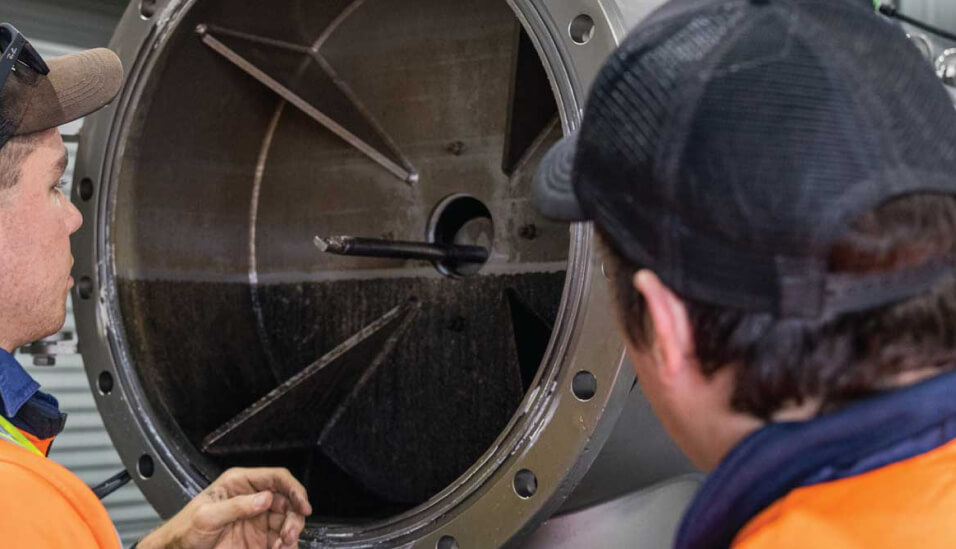
Please note that all applicable safety regulations and means must be applied when using, storing, installing, operating, maintaining, and troubleshooting of Rivulis products, their components and any other product or equipment referenced within this Knowledge Hub. Without derogating from the generality of the aforesaid, at any installation, use, maintenance and troubleshooting of any of Rivulis products you and any of your employees, affiliates and partners must implement strict safety procedures regarding, inter alia, electricity, machinery and the use of hazardous materials.
Some chemicals and fertilizers mentioned in this Knowledge Hub are dangerous and their use is subject to local laws/regulations. To learn about the health and environmental hazards and the required safety means related to such materials – refer to the safety data sheets of such materials.
Any information provided by Rivulis in this Knowledge Hub about the chemical or fertilizer treatment or chemical materials (including safety information and handling recommendations), is provided as a general service only. Rivulis is not a treatment material or fertilizer manufacturer and cannot guarantee that this information is sufficient, complete or accurate and cannot notify you in case of changes in any handling guidelines. Therefore, prior to use, you must carefully learn about the hazards related to and the safe performance and use of such treatments and materials, including by reading the relevant material safety data sheets (MSDS), and consult with applicable professionals. Using such materials is at your own risk. All guidelines mentioned in the Knowledge Hub regarding the use of such materials are subordinate to the instructions of the manufacturer of such materials and to applicable safety and environment laws.
As Rivulis only manufactures irrigation products, descriptions, guidelines, and recommendations included in this Knowledge Hub, not specifically linked to the use of its products, including ones related to chemical treatments, fertilization, salinity management, etc, are provided to you as a general service only. Rivulis cannot guarantee the completeness, accuracy, and sufficiency of such information and therefore does not guarantee and will not be responsible, for any yield results, crop loss, equipment loss, etc. resulted from using this information. You solely bear the responsibility of using this information and for handling your farm and soil.
There are hazards associated with working with farm and irrigation equipment. The user must comply with all relevant safety measures of all equipment and materials. For example, protective clothing, shoes, and eye protection must be used as required. Electrical installations must only be made by licensed professionals and according to local laws and regulations.
Rivulis reserves all intellectual property to this Knowledge Hub. No part of this Knowledge Hub may be reproduced without the prior written permission of Rivulis.